
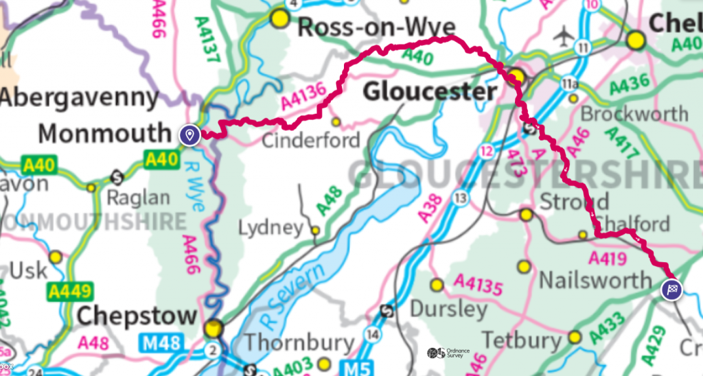
From the ancient earthwork of Offa’s Dyke, built to the order of Offa, the powerful king of Mercia (the English Midlands), in 800 AD, to the infant Thames risking from the limestone high in Gloucestershire, the Wysis Way runs for 55 miles through the distinctive areas of the Forest of Dean, Severn Vale and Cotswold. Linking two great National Trails, Offa’s Dyke Path and the Thames Path, it provides continuous walking for 400miles from the North Wales coast to Greenwich.
The guidebook, last updated by Gerry Stewart in 2012, is still available, see here.
There is a page devoted to the walk on the Long Distance Walkers’ Association Website.
A consortium of Gloucestershire walkers is looking to engage with various local agencies to promote the walk better and to ensure this fine route is properly celebrated and lasts into the future. Work has been underway for a number of years to ensure the route is clear and signage is adequate.
Recent route surveys have determined that the Wysis Way is in good repair, and follows both the guidebook (discussed above) and the line as shown on OS maps (see downloads, below).
Downloads
Click on the highlighted section to download the file.
Notes on the way
This is an ad hoc section to record route issues. Overtime it may expand into a full real-time route guide. Right now, I’ll record here any noted issues or observations. I’ll try to order these according to the line of the route, starting in Monmouth and ending in Kemble.
Photo Gallery
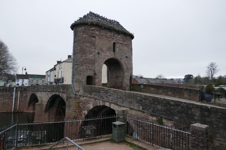 Old Mon Bridge, Monmouth
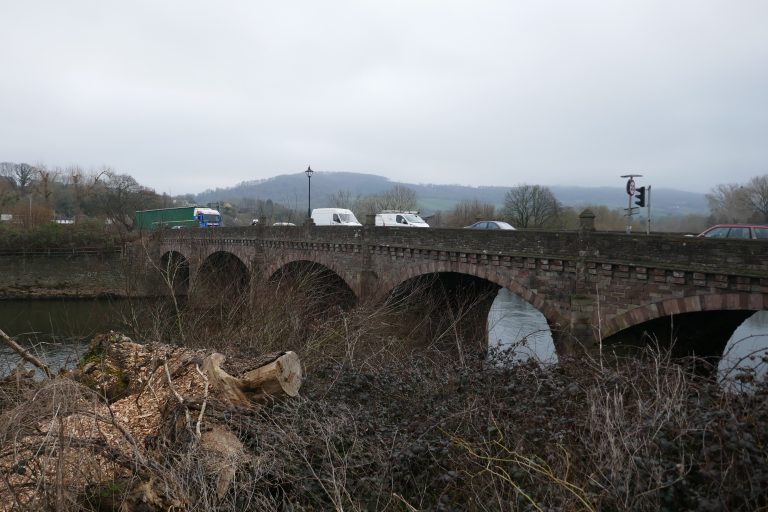 Old Wye Bridge, Monmouth
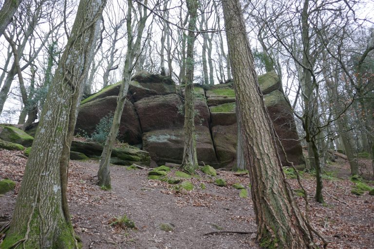 Forest of Dean, Rock Outcrop
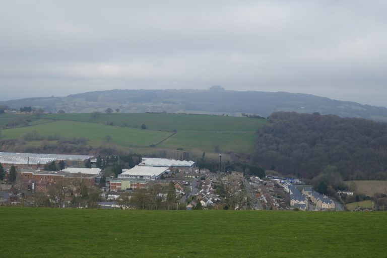 May Hill, with Mitcheldean
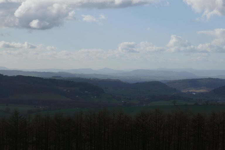 Sugar Loaf, from May Hill
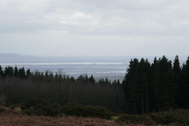 Severn, from May Hill
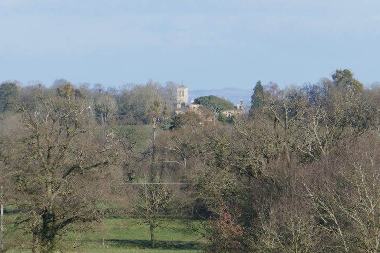 Tibberton Church
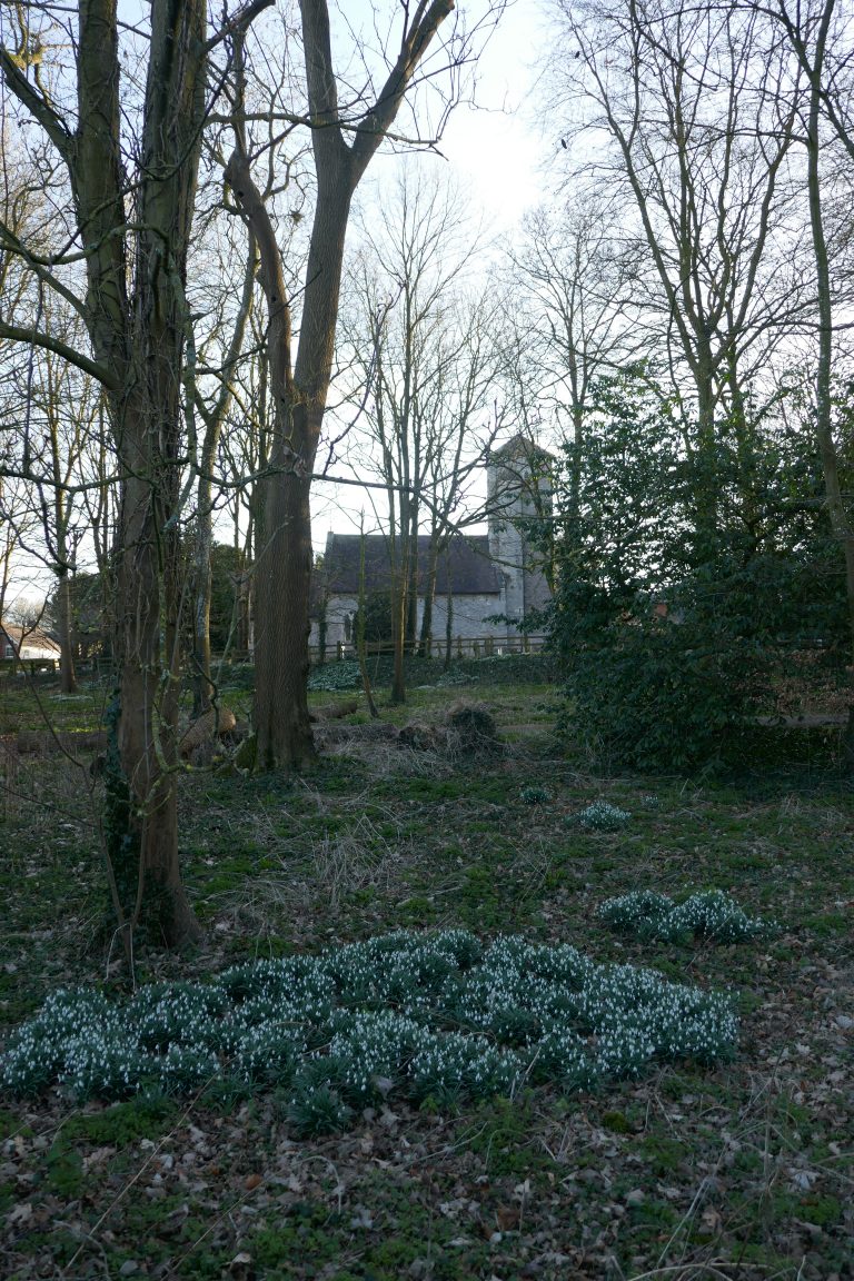 Tibberton Church
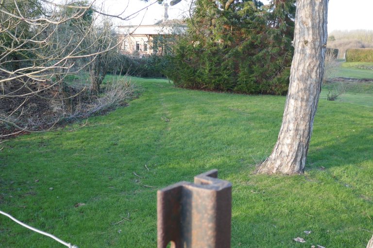 Old Rudford Station, with rail recycled as fencepost
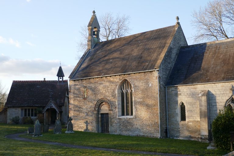 St Mary the Virgin, Rudford
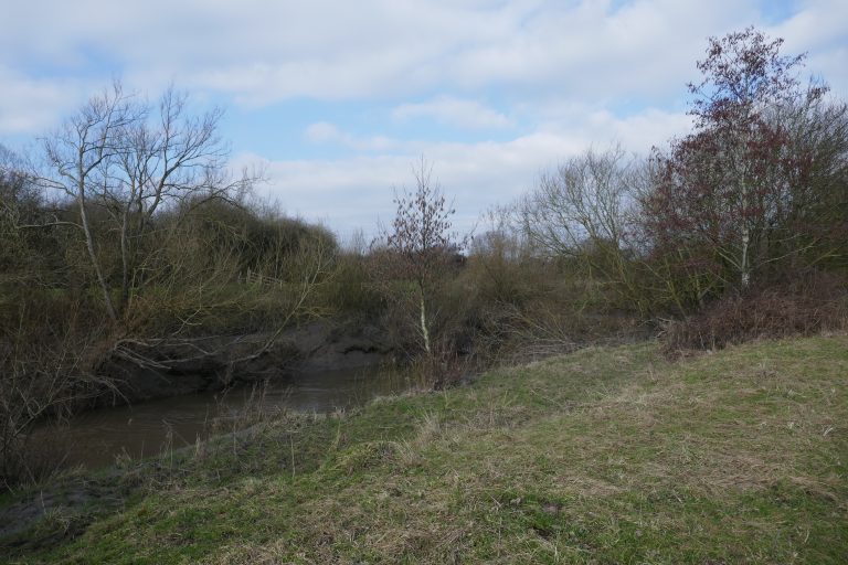 Severn at Alney Island
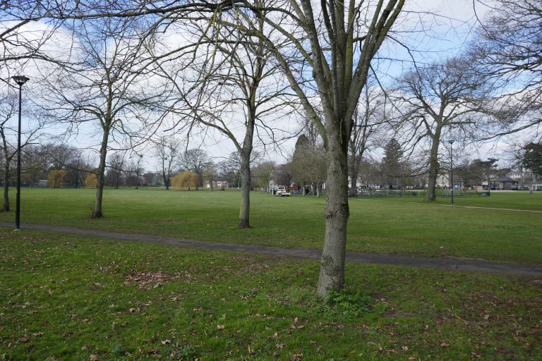 Gloucester Park
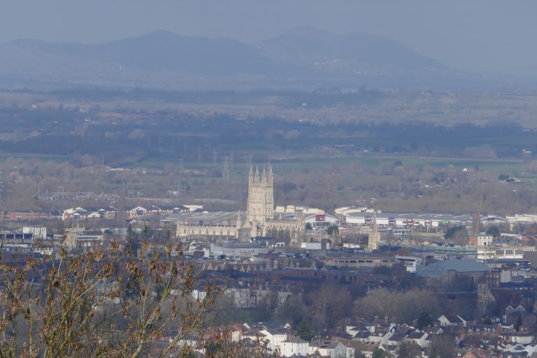 Gloucester from Robinswood Hill
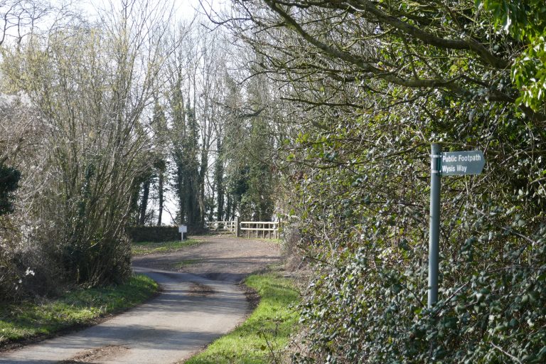 Cud Hill lane
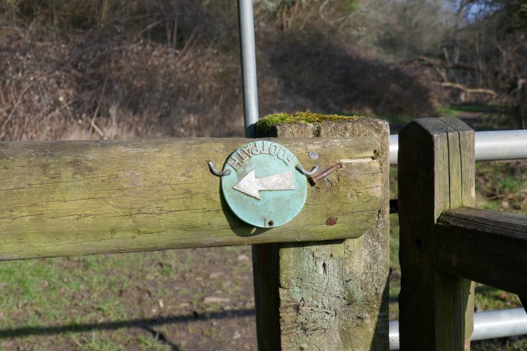 Er, where did all the ‘Turn Left’ signs go?…
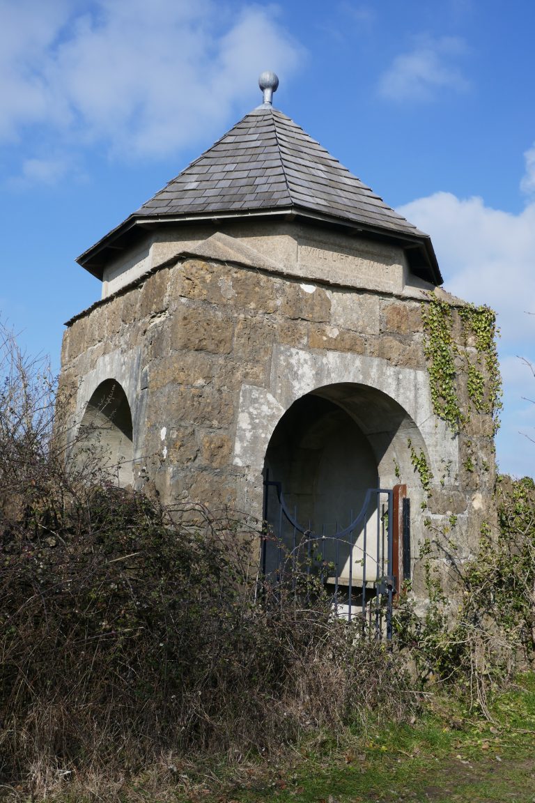 I will lift up mine eyes unto the hills from whence cometh my help